DRONE INC DOO
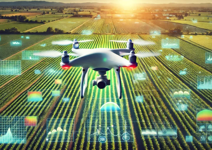
Precise crop treatment with drones, advanced analysis of multispectral images, and detailed multispectral terrain imaging.
Call us
+381 649295568 +36 70 594 5970
Innovations for Better Yields
Our services include precise crop treatment with drones, advanced multispectral image analysis, and detailed multispectral terrain imaging, all aimed at improving efficiency and productivity in agriculture. We enable farmers to optimize resource use, accurately diagnose plant health, and effectively manage crops, ensuring better yields and sustainability.
Contact us
Schedule a meeting
Crop and plantation treatment
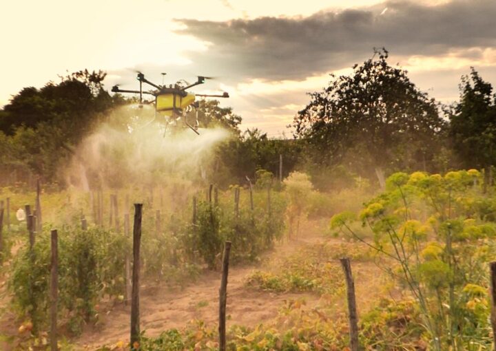
The use of unmanned aerial vehicles (drones) in agriculture, particularly in crop protection and spraying, is becoming increasingly common and brings numerous advantages.
Drones enable highly precise chemical spraying, reducing waste and excessive use of pesticides.
This is crucial for preserving the health of crops and the environment.
Sa našim dronovima za prskanje obezbeđujemo tretiranje svih vrsta ratarskih, voćarskih i povrtarskih kultura bez gaženja i oštećenja. Usevi se tretiraju dronovima primenom svih vrsta folijarnih tečnih đubriva i pesticida.
Software Analysis
multispectral images
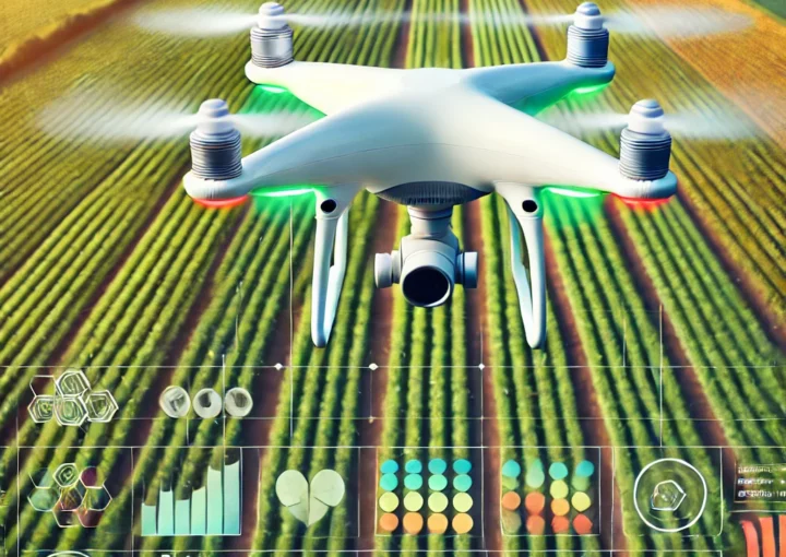
Software analysis of photos taken with a multispectral camera involves processing them in software such as DJI Terra, Pix4D, ArcGIS, and others.
This approach determines vegetation indices that allow for assessing the vegetative and health status of plant biomass. The generated maps, created from individual images, precisely indicate the need for variable crop and plantation treatment. Some of the vegetation indices that can be generated through the processing and analysis of multispectral images include NDVI, GNDVI, LCI, NDRE, and OSAVI.
The most commonly used index for assessing crop conditions is NDVI (Normalized Difference Vegetation Index), which is derived from the difference in light absorption by plants in the red and near-infrared parts of the spectrum to provide information on vegetation health. It is calculated using the formula: NDVI = (NIR – Red) / (NIR + Red), where NIR represents near-infrared light, and Red represents red light.
Multispectral imaging
crops and plantations
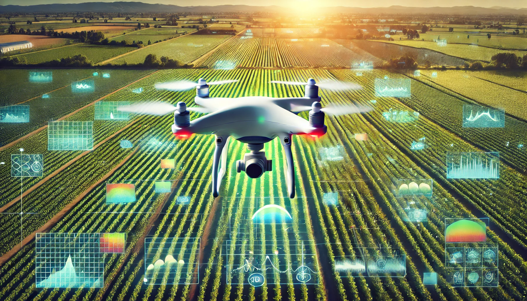
Mapping and imaging the terrain provides a precise, high-resolution image of areas up to several hundred hectares in size.
DJI P4 Multispectral, in combination with appropriate software for further processing and analysis, enables precise terrain mapping and monitoring of vegetation changes over the crop growth period. This is particularly important in agriculture for optimizing crop management, resource allocation, and identifying issues affecting crop development.
Applying multispectral indices allows for the assessment of vegetation quality in forested areas. Based on the collected data, it is possible to evaluate the health status of crops and plantations. Additionally, aerial images collected and processed can determine the level of damage to fields caused by adverse weather conditions.
leading the best marketing team.
We help our clients succeed by creating brand identities, digital experiences, and print materials that communicate clearly, achieve marketing.
Hub IT allows your business and technology
computers to store, transmit, analyze,
and manipulate big data.
Hub IT allows your business and technology
computers to store, transmit, analyze,
and manipulate big data.

company’s vision
Investing in the digital future.
Hub IT allows your business and technology computers to store, transmit, analyze, and manipulate big data in the digital world.
Business-Plan Consulting
First-Class Investments
testimonials
Liquid, Founder
Liquid, Founder
Liquid, Founder
Blog
On our blog, you can find interesting information about the use of new technologies in agriculture.
